Mapping
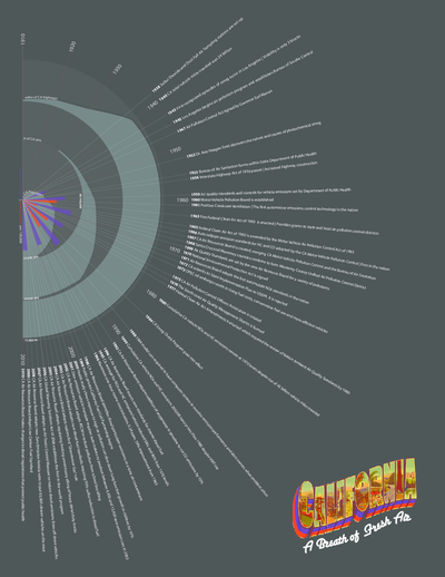
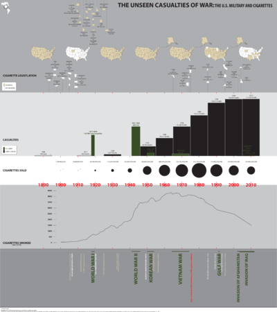
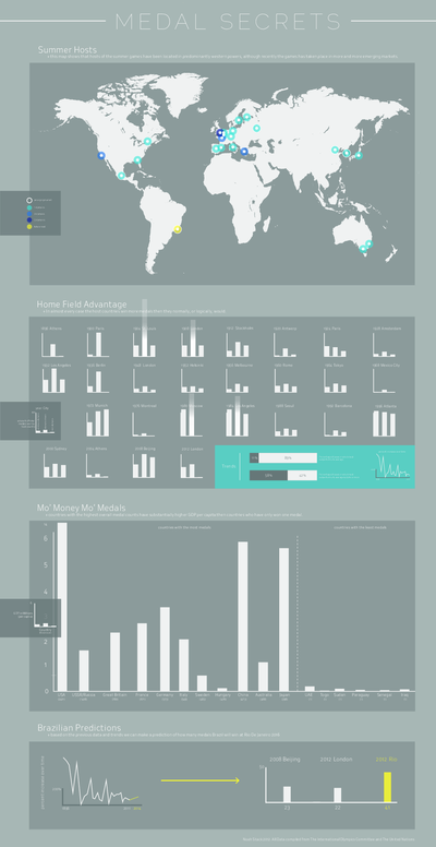
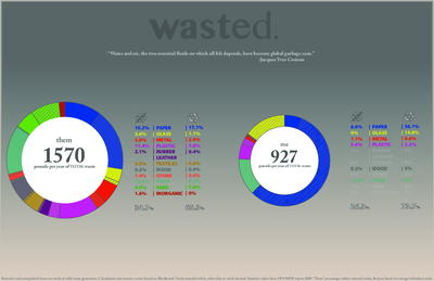
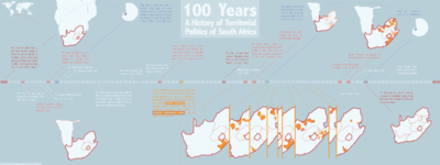
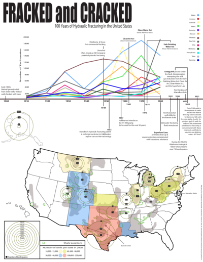
This new course, offered jointly by the Gallatin School and the Department of Environmental Studies, looks at the practice of mapping as a cultural project with its attendant socio-political and environmental implications. Why are maps made? How do we interpret digital and analog information presented as maps? Do maps supplement or supplant text? Do they convey authority? To what degree do maps depend on observation and quantification? What is included? Who is excluded? What political, historical, and environmental decisions are linked to various types of maps?
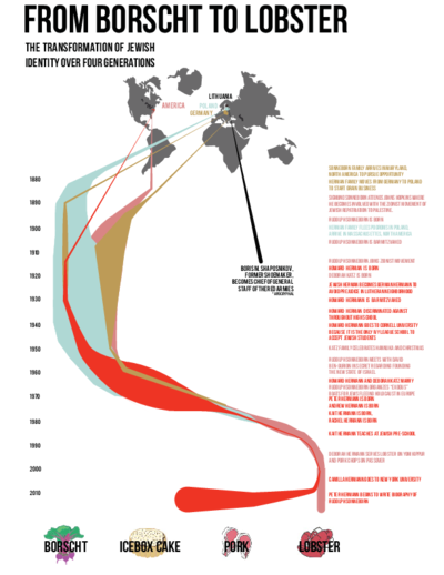
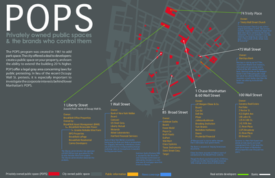
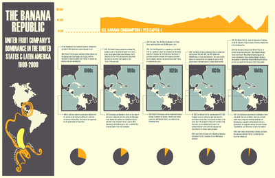
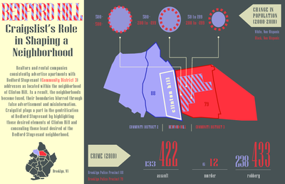
Students in this course learn how to “read” as well as make maps. Through a series of projects of increasing complexity, students are asked to engage critically with visual documentation and information display, focusing on how our understanding of the environment is shaped by different maps and map-making protocols. While one generation might be most familiar with static directional maps, another is schooled in alternative and multivalent readings of interactive and digital maps. Independent of their format, all maps are tools, none of which is neutral. They all shape and challenge our understanding of space, place, and events.
